


WETTERAU SHOWCASE
Panoramas with views of rural life
This easy-to-walk circular trail offers the opportunity to get closer to rural life while enjoying panoramic views of the rolling Wetterau plain.
From the festival grounds straight up into the meadows
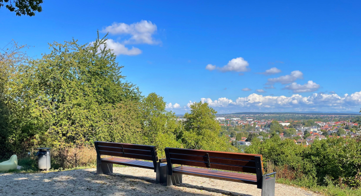
From the festival grounds, the Nidda is crossed, and after a short walk through the residential area, the path ascends to the edge of the orchards. They present a beautiful sight in every season. The famously fertile soil of the Wetterau becomes evident on the following section through the fields, always accompanied by sweeping views of the landscape and crowned by a panoramic viewpoint with explanations.
At the renatured Nidda
After passing through the Bad Vilbel district of Gronau, the Nidda is reached again. Here, at the confluence of the Nidder into the Nidda, its channelization was removed, and the riverbed widened. In the following section of the Nidda, the biotopes of the Nidda islands were created, also through renaturation. They are clearly visible from the bank but not accessible. The special protection for wildlife and plant life is paramount here. As one of the most beautiful sections of the Nidda created from this renaturation, this area is particularly suitable for a leisurely rest in harmony with nature.
On the trail of the beaver
The beaver has also recolonized its former habitats here. Even if you rarely see the animals themselves, you can at least see the traces of their activities. You should take the time to linger, observe, and enjoy. Shortly after reaching the Bad Vilbel district of Dortelweil, the hiking trail leaves the riverbank.
Organic products in the farm shop and café
At the Nidda bridge, the path turns towards the Dottenfelder Hof. This farm offers insight into the concept of biodynamic agriculture, including explanations. You can sample many delicious organic products in the farm café. If you like them, you can then buy them in the farm shop.
STARTING POINT: At the festival grounds – Nidda trail access
DISTANCE: 8.5 km
DURATION: approximately 2.5 hours
ELEVATION DIFFERENCE: 120 m
CATEGORY: Easy-to-walk field and farm roads, suitable for people with limited mobility, suitable for strollers, no special equipment required.

NO NAMED GPX GPXNo elevation data
|
Massenheim’s history stretches back many millennia. Its sunny hillside location, fertile land, and access to water made the region a sought-after settlement site from early on.
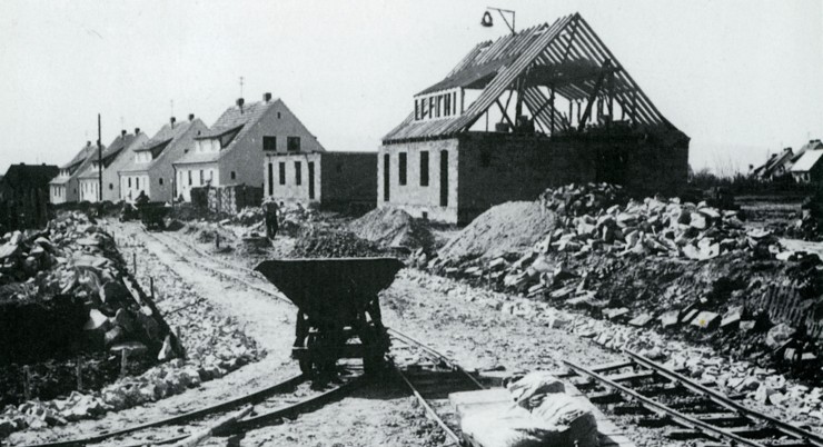
The modern-day Bad Vilbel district of Heilsberg has a relatively young history: in 2023, it celebrated its 75th anniversary. Many settlements in the region are far older—ten times as old or more.
Massenheim’s history stretches back many millennia. Its sunny hillside location, fertile land, and access to water made the region a sought-after settlement site from early on.
The Vilbelsteig is a city hiking trail certified by the German Hiking Institute, combining interesting areas of city and nature. It offers a wealth of information…
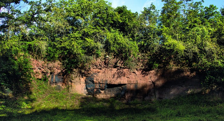
In addition to a wonderful view over the city, as far as the Taunus and into the Wetterau, this trail offers plenty of interesting information about the local geology as well as…
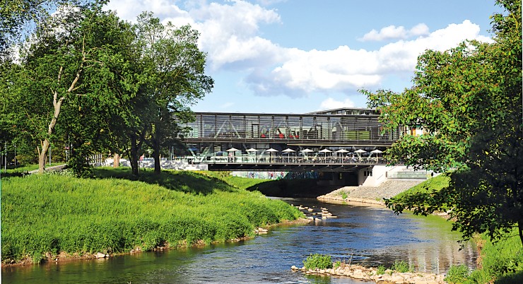
On this walking trail, everything revolves around Bad Vilbel’s most important element – water.
Always within sight of the Nidda, the path leads along the green soul and the historical…
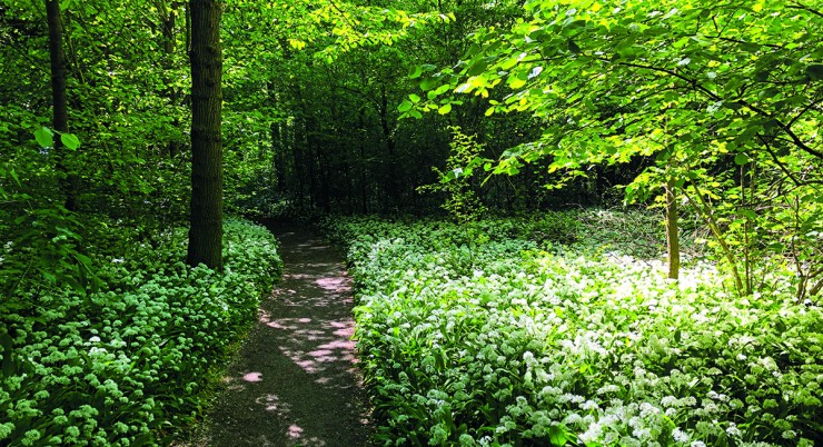
This walking path offers a brief escape from the hustle and bustle of the city. If you want to enjoy the tranquility of the forest, this is the right place….
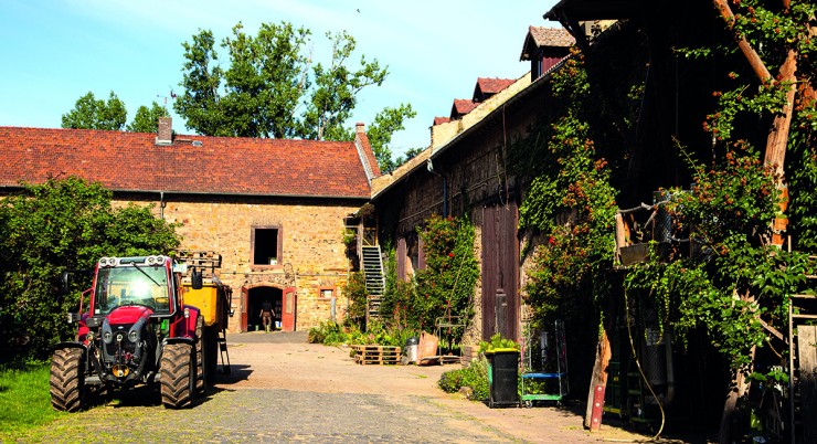
This easy circular trail offers the opportunity to get closer to rural life while enjoying wonderful panoramic views of the fertile Wetterau plain…
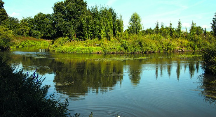
Many idyllic spots along the Nidda invite you to take a break, such as the “Storchennest” viewpoint and rest area, where a walk-in…
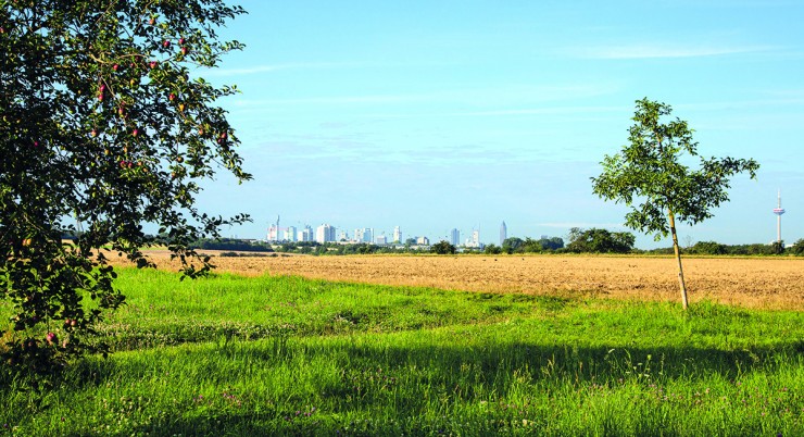
The Skyline Tour reflects the unique charm
of the area: it offers a fascinating
combination of important historical themes
of the city – such as….


