


SKYLINE TOUR
A view of history and modernity
This circular route, with a few climbs, reflects the region’s special charm: it offers a balanced combination of key historical themes from Bad Vilbel. These include, among other things, insights into the fate of the Siesmayer nursery, once well known far beyond Bad Vilbel; as well as sweeping views as far as Frankfurt’s skyline and the Taunus ridge.
This section becomes Siesmayer-Allee
The route starts at the Bad Vilbel Süd S-Bahn stop and follows Berkersheimer Weg. This pleasant footpath has become the “Siesmayer-Allee” thanks to the accompanying information boards, and commemorates what was once an important institution in horticulture.
Climb with views
This is followed by the first climb towards the Heilsberg district. The view opens up more and more towards the peaks of the Taunus and also offers various views of Frankfurt’s high-rise skyline and TV tower.
Orchard meadows line the path at the edge of the district’s residential area. The fruit trees change their appearance with the seasons. From a sea of blossoms to an abundance of red apples or bright hoarfrost on bare branches – always an interesting foreground and contrast to the Frankfurt skyline.
A short but intense history of Bad Vilbel – Heilsberg
On a meadow path, gently uphill, the route enters the Heilsberg district, with its young but no less interesting history. Explanations can be found on the information boards. This is also the case in Freudenberg Park, which plays an important role in the district’s history in several respects. At the edge of the park, the next viewpoint awaits. A separate history trail in Bad Vilbel – Heilsberg offers deeper insights into the district’s history.
Linger before the descent
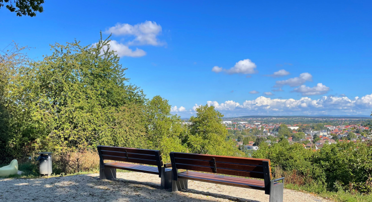
The entire town centre of Bad Vilbel lies at your feet here, framed by ecological flowering areas. This spot invites you to linger and enjoy a picnic. There are various options for resting and taking in the view, including benches, loungers and a dialogue island. From here, the route goes steeply downhill for a short stretch, then gently down through a small woodland. Passing the playground for little hikers, you return to the starting point at the Süd station.

NO NAMED GPX GPXNo elevation data
|
Massenheim’s history stretches back many millennia. Its sunny hillside location, fertile land, and access to water made the region a sought-after settlement site from early on.
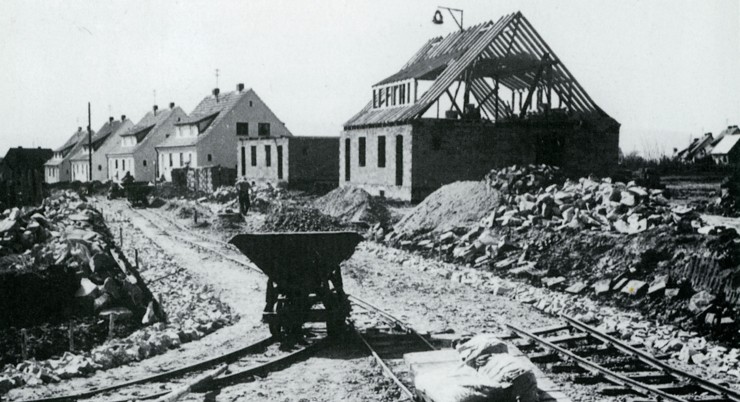
The modern-day Bad Vilbel district of Heilsberg has a relatively young history: in 2023, it celebrated its 75th anniversary. Many settlements in the region are far older—ten times as old or more.
Massenheim’s history stretches back many millennia. Its sunny hillside location, fertile land, and access to water made the region a sought-after settlement site from early on.
The Vilbelsteig is a city hiking trail certified by the German Hiking Institute, combining interesting areas of city and nature. It offers a wealth of information…
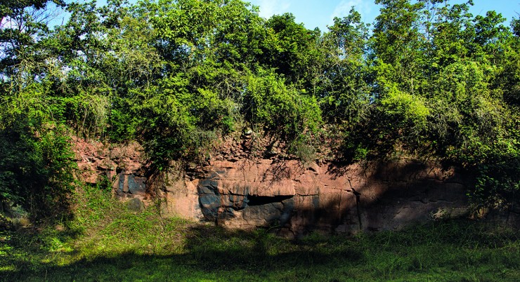
In addition to a wonderful view over the city, as far as the Taunus and into the Wetterau, this trail offers plenty of interesting information about the local geology as well as…
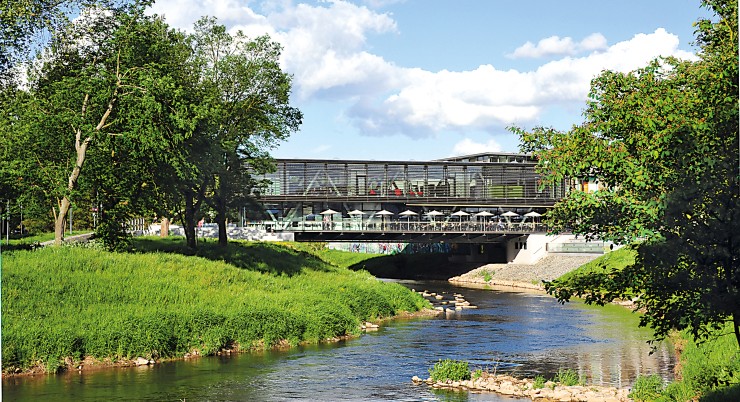
On this walking trail, everything revolves around Bad Vilbel’s most important element – water.
Always within sight of the Nidda, the path leads along the green soul and the historical…
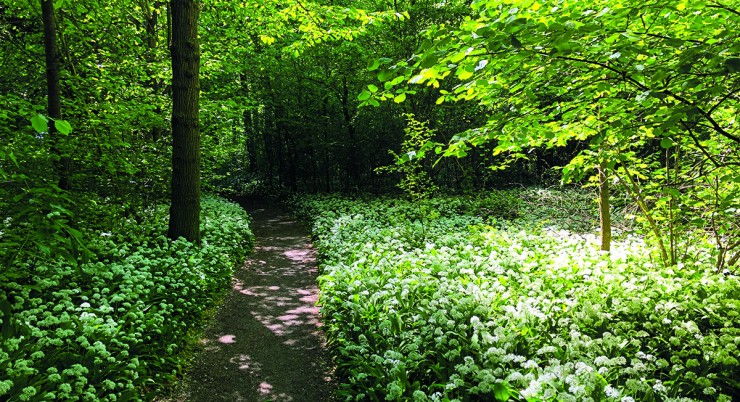
This walking path offers a brief escape from the hustle and bustle of the city. If you want to enjoy the tranquility of the forest, this is the right place….
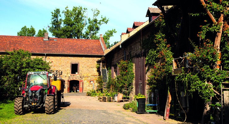
This easy circular trail offers the opportunity to get closer to rural life while enjoying wonderful panoramic views of the fertile Wetterau plain…
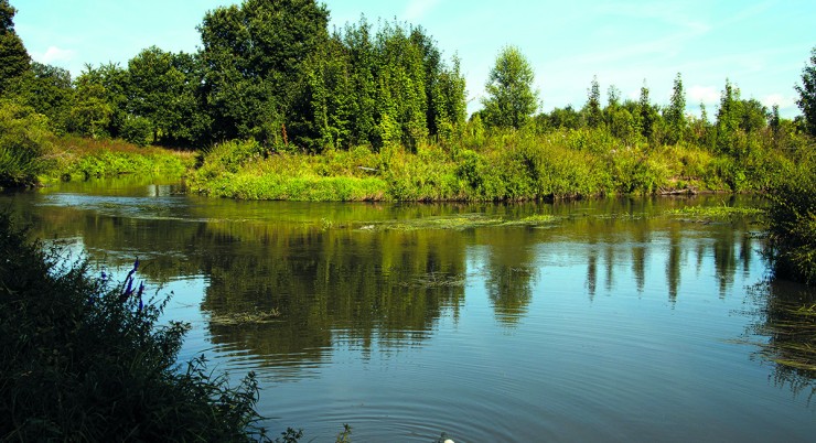
Many idyllic spots along the Nidda invite you to take a break, such as the “Storchennest” viewpoint and rest area, where a walk-in…
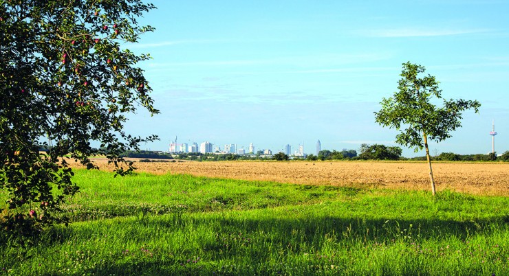
The Skyline Tour reflects the unique charm
of the area: it offers a fascinating
combination of important historical themes
of the city – such as….


