


BLACK ALDER TRAIL
Past and present vividly connected
The history of Massenheim stretches back many millennia. Its sunny hillside location, fertile land, and access to water made the region a sought-after settlement site from early on.
Bronze Age finds, Celtic graves, and rich remnants of Roman culture allow the ground beneath our feet to tell the story of thousands of years of human history.
First mentioned in a document in 775, it was voluntarily incorporated into Bad Vilbel in 1972.
From the mill stream to art
The waters of the Erlenbach, whose floodplains our path initially leads through, have always shaped life in Massenheim. This is particularly evident at the Roman Well and the Upper and Lower Mills.
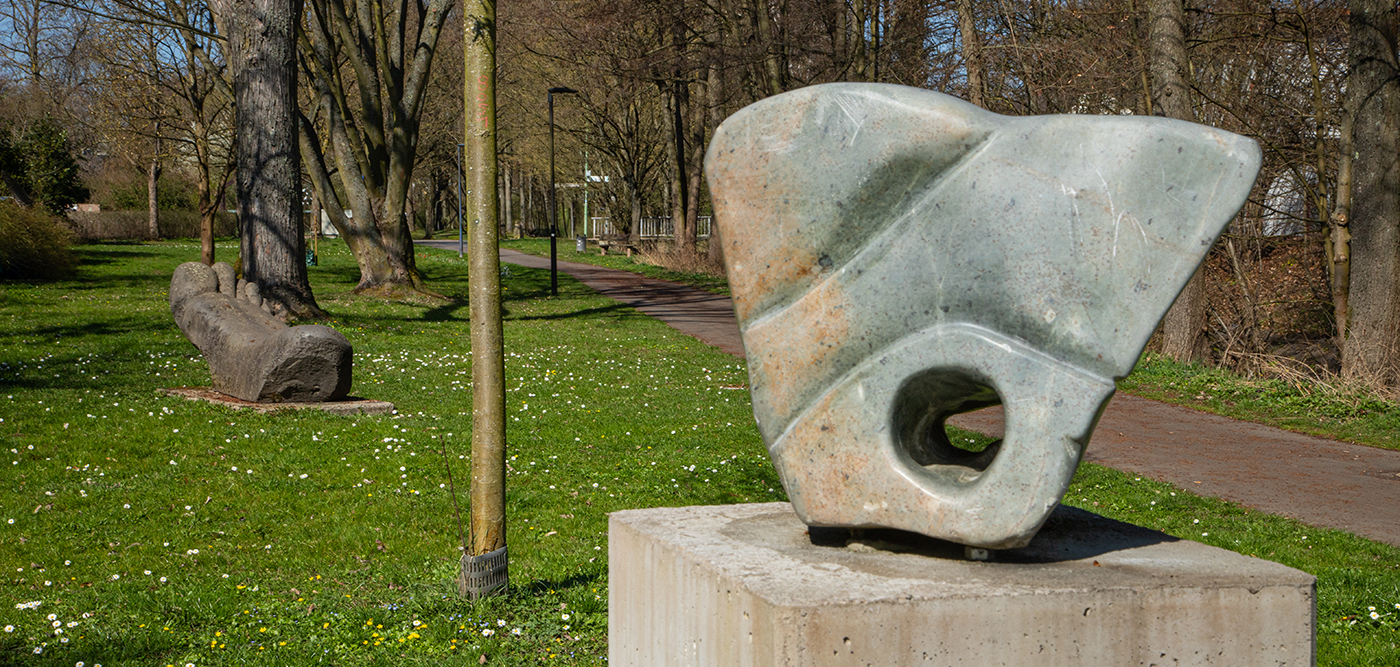
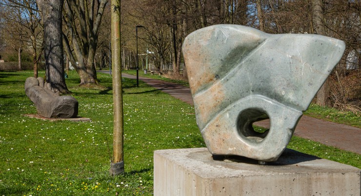
In 2007, the natural landscape became an open-air gallery, and since then, Auenkunst (floodplain art) has been an integral part of the village’s character. Artists present their works in an interplay with nature and the seasons.
A typical village by the stream
Then it’s into the village center – where village life, childhood, school history, and the changing face of agriculture are revisited.
Today’s local history museum is located in the former village school building. The newly reopened, modern museum tells Massenheim’s story in a contemporary way: themes such as the brickworks, emigration, and the culture surrounding apple wine are brought to life through interactive media stations and original exhibits.
Right next door, at the historic Shepherd’s House, the museum café invites you to linger during the summer months – a special place where history, nature, and community meet.
We stroll across the village square, which stood then as it does now for social life and celebrations in the village. The secret behind the “Giggelschmiss” during the Massenheim Fair is revealed here.
Agriculture in transition – farm shop and farm café
From the village, the path leads out into the open fields – the fertile loess-loam soils, the waters of the Erlenbach, and the mild climate provided ideal conditions for arable farming, livestock breeding, and the traditional orchard culture for apple wine. The numerous farms that once defined the village’s appearance have now been replaced by resettlement farms outside the village. Before returning to the starting point, a short detour to the farm café and farm shop awaits.

NO NAMED GPX GPXNo elevation data
|

Massenheim’s history stretches back many millennia. Its sunny hillside location, fertile land, and access to water made the region a sought-after settlement site from early on.
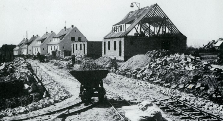
The modern-day Bad Vilbel district of Heilsberg has a relatively young history: in 2023, it celebrated its 75th anniversary. Many settlements in the region are far older—ten times as old or more.
Massenheim’s history stretches back many millennia. Its sunny hillside location, fertile land, and access to water made the region a sought-after settlement site from early on.
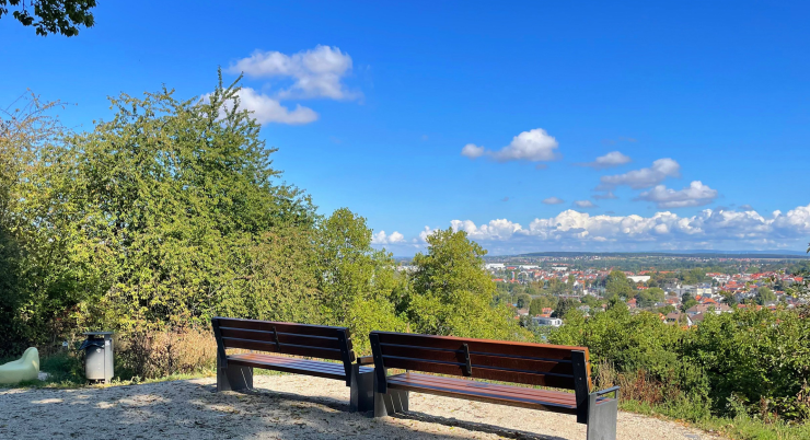
The Vilbelsteig is a city hiking trail certified by the German Hiking Institute, combining interesting areas of city and nature. It offers a wealth of information…
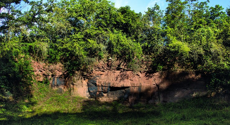
In addition to a wonderful view over the city, as far as the Taunus and into the Wetterau, this trail offers plenty of interesting information about the local geology as well as…
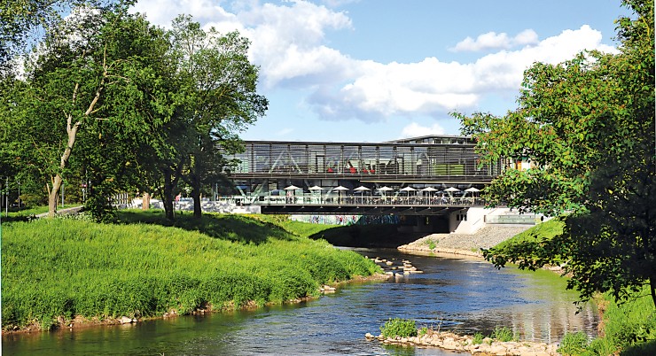
On this walking trail, everything revolves around Bad Vilbel’s most important element – water.
Always within sight of the Nidda, the path leads along the green soul and the historical…
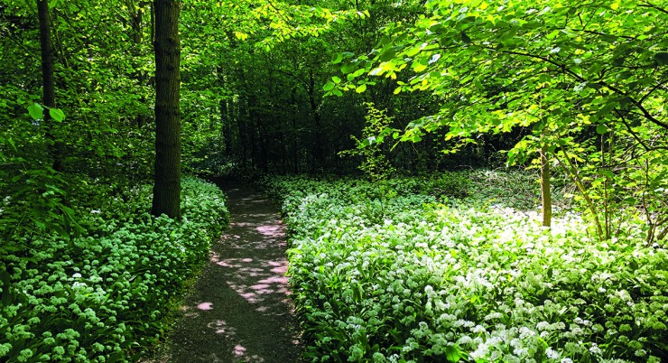
This walking path offers a brief escape from the hustle and bustle of the city. If you want to enjoy the tranquility of the forest, this is the right place….
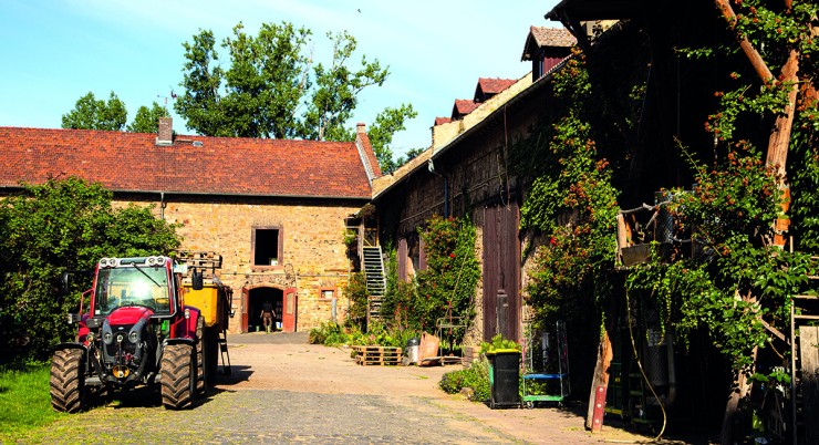
This easy circular trail offers the opportunity to get closer to rural life while enjoying wonderful panoramic views of the fertile Wetterau plain…
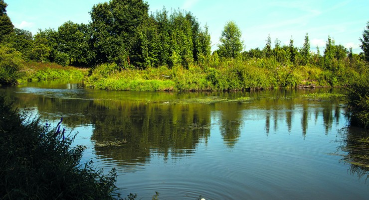
Many idyllic spots along the Nidda invite you to take a break, such as the “Storchennest” viewpoint and rest area, where a walk-in…
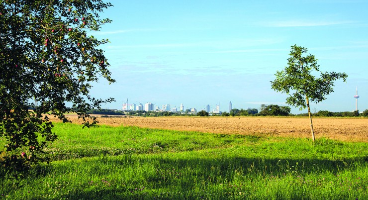
The Skyline Tour reflects the unique charm
of the area: it offers a fascinating
combination of important historical themes
of the city – such as….


