


AUF DEM ROTHEN HORST
Geology Theme Trail
The geology around the Rothe Horst plays a decisive role in the history of Bad Vilbel. A horst refers to a geological uplift. In Bad Vilbel, the hill south of the old town was named the Rothe Horst. It consists of easily accessible (red) sandstone—technically also called Rotliegend.
Quarries Since Roman Times
From Roman times until the 1950s, the sandstone was quarried as building material in numerous locations and used for the construction of various buildings as well as all kinds of stonemasonry. The preserved former quarries are now natural areas, some of them biotopes. The former spoil heaps were first converted into vineyards and later into meadow orchards. You can explore all of this on your hike—it is open and free for your discoveries.
Mineral Water from the Depths
But that’s not all: the unique geological formations also made it possible to extract mineral water. This led to the development of around 30 bottling plants throughout the city via what were once numerous springs.
Geology Is the History of Bad Vilbel
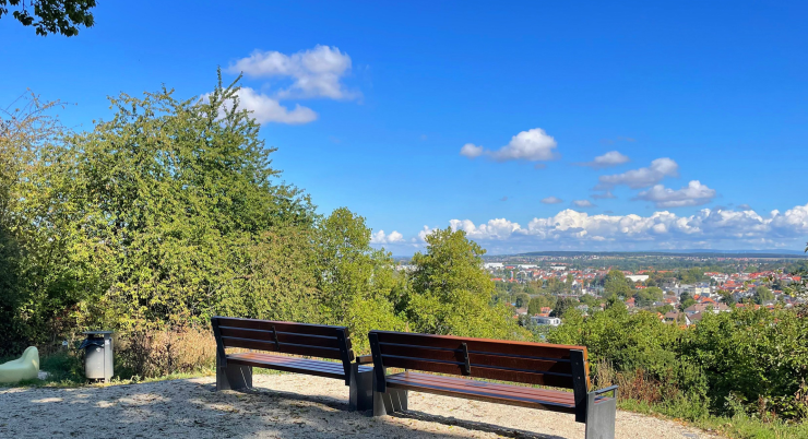
In addition to plenty of information about the geology and the intertwined history of Bad Vilbel, this short trail offers views into the Taunus and the Wetterau as well as sections of narrow paths. Relaxing breaks are possible at various spots, right in the shady quarry or at the viewpoint of the former vineyard terraces.
From the Marketplace into the Quarries
From the marketplace with its historic buildings, the trail quickly leads uphill, along the edge of two former quarries. With views over Bad Vilbel, as far as the Taunus and deep into the Wetterau. Information panels explain the connections and allow for breathing breaks before descending again via a staircase. Directly through two accessible former quarries that are now important biotopes. Then along paths beside the Edelbach stream and back up onto the Rothe Horst. Now covered with fruit trees, they barely hint at their origin as spoil heaps.
Rest Area with a View
Up here, a rest area invites you to picnic and take in the scenery. Afterward, the Bad Vilbel cemetery is reached. A detour to the Resurrection Church and its churchyard is worthwhile, as walls and embedded old gravestones bear witness to the use of Bad Vilbel sandstone. Down the steps, the Gerberpark is reached.
Water Everywhere
Following the Nidda, the trail leads past the Old Mill and the moated castle back into the old town. Finally, the Fountain Museum on the marketplace provides information with many exhibits about the formation and use of Bad Vilbel mineral water.
STARTING POINTS: At the marketplace (Marktplatz), cemetery parking lot – Lohstraße
DISTANCE: 3 km
DURATION: approx. 1 hour
ELEVATION GAIN: 110 m
CATEGORY: Moderate
Moderate, not barrier-free, not suitable for strollers, sturdy footwear required! Some short, steep sections.
DOWNLOAD: GPX FILE
DOWNLOAD: FLYER

NO NAMED GPX GPXNo elevation data
|
Massenheim’s history stretches back many millennia. Its sunny hillside location, fertile land, and access to water made the region a sought-after settlement site from early on.
The modern-day Bad Vilbel district of Heilsberg has a relatively young history: in 2023, it celebrated its 75th anniversary. Many settlements in the region are far older—ten times as old or more.
Massenheim’s history stretches back many millennia. Its sunny hillside location, fertile land, and access to water made the region a sought-after settlement site from early on.
The Vilbelsteig is a city hiking trail certified by the German Hiking Institute, combining interesting areas of city and nature. It offers a wealth of information…
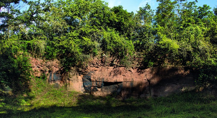
In addition to a wonderful view over the city, as far as the Taunus and into the Wetterau, this trail offers plenty of interesting information about the local geology as well as…
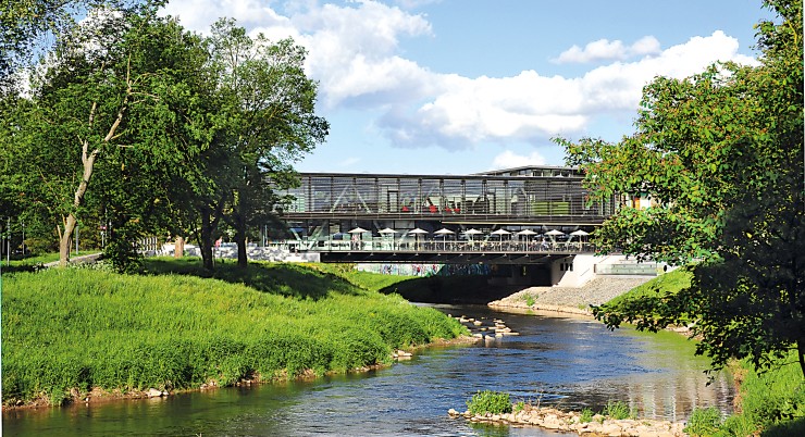
On this walking trail, everything revolves around Bad Vilbel’s most important element – water.
Always within sight of the Nidda, the path leads along the green soul and the historical…
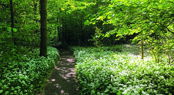
This walking path offers a brief escape from the hustle and bustle of the city. If you want to enjoy the tranquility of the forest, this is the right place….
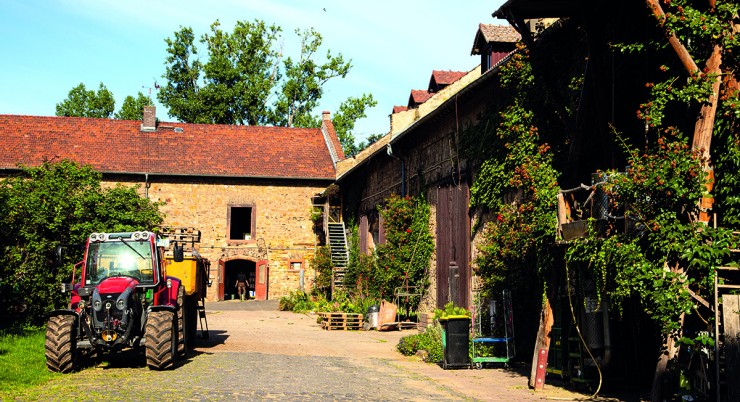
This easy circular trail offers the opportunity to get closer to rural life while enjoying wonderful panoramic views of the fertile Wetterau plain…
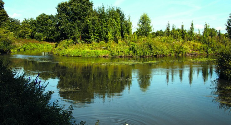
Many idyllic spots along the Nidda invite you to take a break, such as the “Storchennest” viewpoint and rest area, where a walk-in…
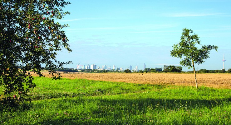
The Skyline Tour reflects the unique charm
of the area: it offers a fascinating
combination of important historical themes
of the city – such as….


