


VILBELSTEIG
Certified Premium City Hiking Trail / German Hiking Institute
An interesting combination
The Vilbelsteig is a city hiking trail certified by the German Hiking Institute, combining interesting areas of city and nature. In the urban area, this includes both historic and modern parks with their leisure facilities, as well as architecturally and industrially significant buildings. It also features cultural landscapes and newly created biotopes. Here in Bad Vilbel, all of this is represented. The trail offers a wealth of information on the most important historical and cultural sites of the city of 35,000 inhabitants and the landscape surrounding it.
First through the city center and parks
If you choose the starting point at the Bad Vilbel Süd S-Bahn station (South station), the route leads clockwise first through the urban areas with the lively shopping street Frankfurter Straße. From the new city center at Niddaplatz, across the architecturally interesting library bridge through the historic spa park. Along the Nidda, the path follows the river – the green soul and historical lifeline of Bad Vilbel.
Many leisure opportunities in the castle park
Via the market square with its historic buildings, the path passes the moated castle and its castle park. A stop here is worthwhile to visit the diverse leisure facilities, such as the Kneipp facilities and the large water playground. Tree lovers will find an extensive collection of trees in the parks – the Bad Vilbel Arboretum.
The view follows the ascent
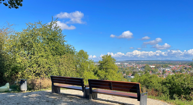
After the Alte Mühle Cultural Center, the path continues through the old town, followed by a short ascent with beautiful views over Bad Vilbel. Across meadow paths, the lovely orchards are traversed before the path reaches the cooling city forest.
The former battlefield
Along the historical border, the path winds along the edge of the Berger Wiese. This was once the scene of the Battle of Bergen and Vilbel, popularly known as “Bloody Good Friday.”
Orchids in the biotope
The journey continues past the Alter Schießplatz biotope, where native orchid species bloom. After the Nature Meadow Project, the path goes uphill once more to the Bad Vilbel – Heilsberg district.
A bit of history at the end
This district, founded by refugees of the Second World War, offers a young but no less interesting history. Before reaching the South station again, you will pass the former site of the Siesmayer nursery and learn why it was so famous at the time but did not survive economically.
If the route is walked counter-clockwise, the stations appear in reverse order.
ACCESS POINTS: At the Bad Vilbel Süd S-Bahn stop, centrally located on Niddaplatz in the city center, at the access from the Nidda to the festival grounds, at the cemetery parking lot – Lohstraße, at Ritterweiher, and at the Vilbeler Wald forest parking lot (B 521).
The Vilbelsteig can be walked in both directions.
ROUTE LENGTH: 12.5 km
DURATION: approx. 4 hours
ELEVATION GAIN: 150 m
CATEGORY: Challenging
Good physical condition and sturdy footwear
required, not barrier-free,
not suitable for strollers.

NO NAMED GPX GPXNo elevation data
|
Massenheim’s history stretches back many millennia. Its sunny hillside location, fertile land, and access to water made the region a sought-after settlement site from early on.
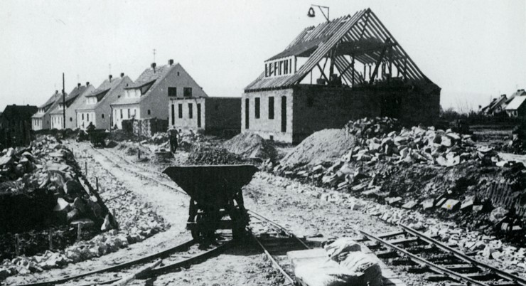
The modern-day Bad Vilbel district of Heilsberg has a relatively young history: in 2023, it celebrated its 75th anniversary. Many settlements in the region are far older—ten times as old or more.
Massenheim’s history stretches back many millennia. Its sunny hillside location, fertile land, and access to water made the region a sought-after settlement site from early on.
The Vilbelsteig is a city hiking trail certified by the German Hiking Institute, combining interesting areas of city and nature. It offers a wealth of information…
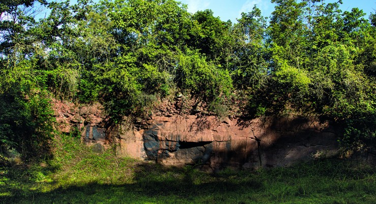
In addition to a wonderful view over the city, as far as the Taunus and into the Wetterau, this trail offers plenty of interesting information about the local geology as well as…
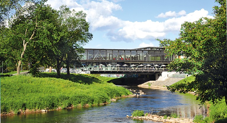
On this walking trail, everything revolves around Bad Vilbel’s most important element – water.
Always within sight of the Nidda, the path leads along the green soul and the historical…
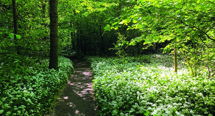
This walking path offers a brief escape from the hustle and bustle of the city. If you want to enjoy the tranquility of the forest, this is the right place….
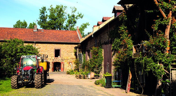
This easy circular trail offers the opportunity to get closer to rural life while enjoying wonderful panoramic views of the fertile Wetterau plain…
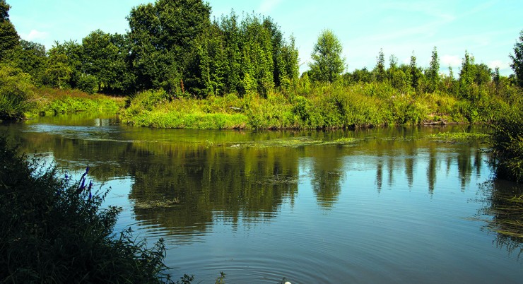
Many idyllic spots along the Nidda invite you to take a break, such as the “Storchennest” viewpoint and rest area, where a walk-in…
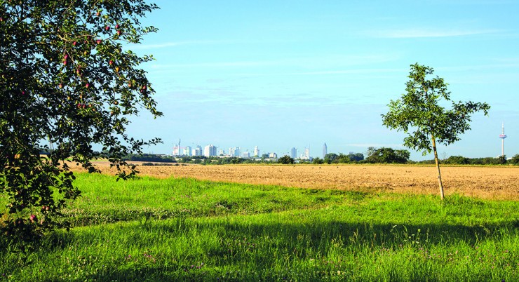
The Skyline Tour reflects the unique charm
of the area: it offers a fascinating
combination of important historical themes
of the city – such as….


