


The Cycling Route Around Bad Vilbel
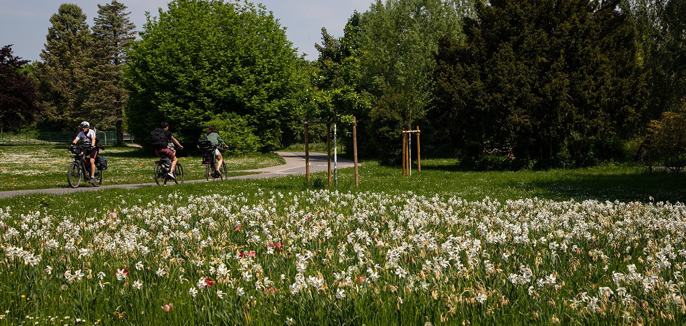
The cycling route “Around Bad Vilbel” is an easily accessible destination in the Rhine-Main area. At the S6 line station Bad Vilbel Süd begins the 23.7-kilometer, easy-to-ride, highly varied circular cycling route with gentle inclines. It touches not only the core city of Bad Vilbel but also all its districts: Bad Vilbel – Dortelweil, Bad Vilbel – Gronau, Bad Vilbel – Heilsberg, and Bad Vilbel – Massenheim. Everywhere there are special features to discover, including nature, water, art, culture, and regional cuisine.
Cycling tour through the varied landscape around Bad Vilbel
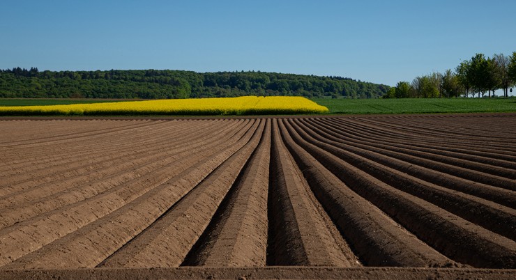
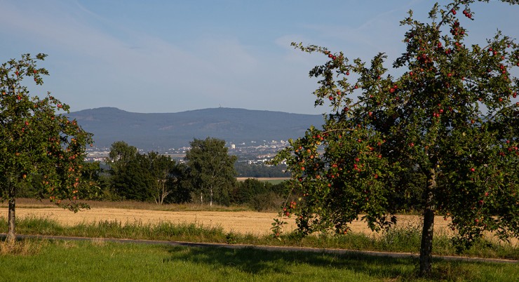
In addition to the urban areas, the varied landscape around Bad Vilbel is particularly impressive. Every moment brings natural beauty and new views. There’s the floodplain landscape of the Nidda with its renaturalized areas, the city forest with its biotope and wild garlic splendor in spring, extensive orchards, and the open agricultural areas of the fertile Wetterau. Open sections offer views all the way to the Vogelsberg and the Taunus heights. Many places to linger and relax provide the opportunity to rest and enjoy. The cycling tour is therefore also a particularly family-friendly leisure activity.
ROUTE: 23.7 km
DURATION: approx. 2 hours
ELEVATION DIFFERENCE: approx. 110 meters
CATEGORY: Easy. Consistently well-maintained paths (asphalt, paved forest and field paths)
Starting points at Südbahnhof, Dortelweil at the Nidda bridge, or at the western end of Huizener Straße / Erlenbach confluence.
DOWNLOAD: FLYER
DOWNLOAD: GPX FILE

The Tour in Detail
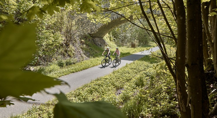
The Volcano Cycle Path largely follows the route of the former Oberwaldbahn, an old railway line that led from Lauterbach over the Vogelsberg mountain range and through the Wetterau region to Frankfurt.
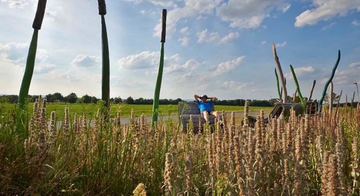
The Regionalpark Route is a unique river experience full of contrasts. It leads through the fields of the Wetterau, one of Germany’s oldest cultural landscapes, to the source in the idyllic Vulkanland Hoher Vogelsberg Nature Park.
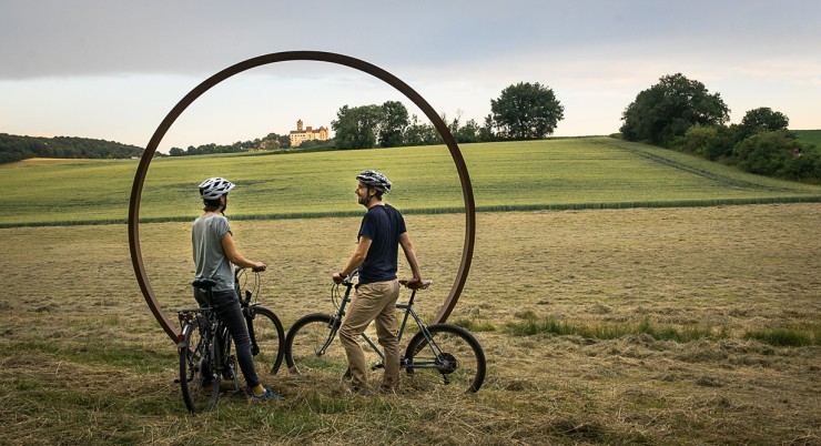
The Hohe Straße Regional Park Route follows the historical course of an old trade route and leads through vast landscapes as a ridge-top trail. You quickly feel “far away” and closer to the sky. Spectacular panoramic views open up in all directions, from the settlements in the valley to the Frankfurt skyline and the Ronneburg hills.
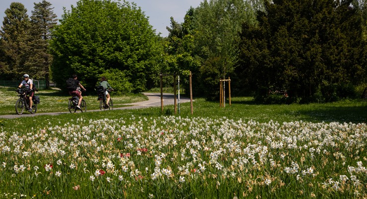
The cycling route “Around Bad Vilbel” is a 23-kilometer, easy-to-ride, highly varied circular cycling route with gentle inclines. It touches not only the core city of Bad Vilbel but also all its districts: Dortelweil, Gronau, Heilsberg, and Massenheim. Everywhere there are special features to discover, including nature, water, art, culture, and regional cuisine.
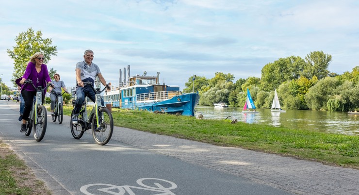
Marked throughout with the green “R4” sign, most of the route runs along low-traffic, quiet, and secluded paved cycle paths and farm tracks.
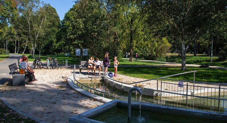
Marked throughout with the green “R4” sign, most of the route runs along low-traffic, quiet, and secluded paved cycle paths and farm tracks.
Marked throughout with the green “R4” sign, most of the route runs along low-traffic, quiet, and secluded paved cycle paths and farm tracks.
Marked throughout with the green “R4” sign, most of the route runs along low-traffic, quiet, and secluded paved cycle paths and farm tracks.
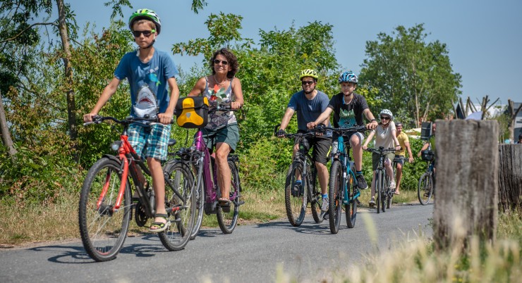
Welcome to Bad Vilbel, the City of Springs and Festivals – and the perfect starting point for all cycling enthusiasts. Whether you’re looking for a sporty challenge, prefer a leisurely ride along the Nidda, or fancy a longer bike tour into nature: diverse cycling routes, services, and delightful moments await you here.


