

UNSERE WANDERWEGE
Es gibt viel zu Sehen: Entdecken Sie Bad Vilbel zu Fuß.
Einfach losgehen und entdecken, durch Stadt, Feld und Wald wandern und spazieren. Eben noch pulsierendes Leben, dann mit Stille und frischer Luft zur Ruhe kommen, Biotope bestaunen, idyllische Streuobstwiesen durchqueren. Alles liegt so nahe beieinander, wahrnehmen, entspannen, körperlich betätigen.
Immer dabei: Spannende Informationen, lauschige Plätzchen am Flussufer, herrliche Ausblicke über Bad Vilbel, den Taunus, die Wetterau bis zur Frankfurter Skyline, unberührte Tier- und Pflanzenwelten … sogar ein richtiges Schlachtfeld wartet auf seine Entdeckung!
Immer ganz in der Nähe: Aufenthaltsorte zum Luftholen, Picknicken, Treffen und Quatschen. Dazu vielfältige Gastronomie, Veranstaltungen und attraktiver Einzelhandel.
Einstiegsstellen: zu den acht Wegen existieren vor dem Bahnhof Bad Vilbel-Süd, auf dem Niddaplatz, am Kurhaus, am Marktplatz, an der Nidda hinter dem Schwimmbad, am Zugang von der Nidda zum Festplatzgelände, am Parkplatz am Friedhof, am Ritterweiher und am Waldparkplatz Vilbeler Wald (B 521).
Acht Wege laden ein:
Wählen Sie nach Ihren Wünschen und Tagesform die Länge, Schwierigkeitsgrad und Themenschwerpunkte - für jeden Geschmack und alle Altersstufen.
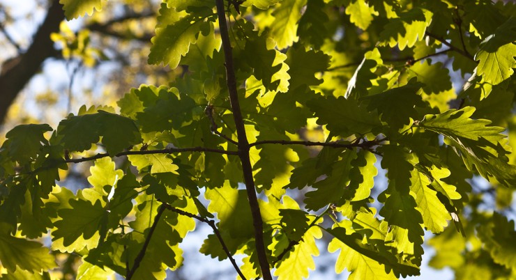
Let yourself drift along paths and meadows—soak up the power of the trees and listen to the rustling of leaves in the wind.
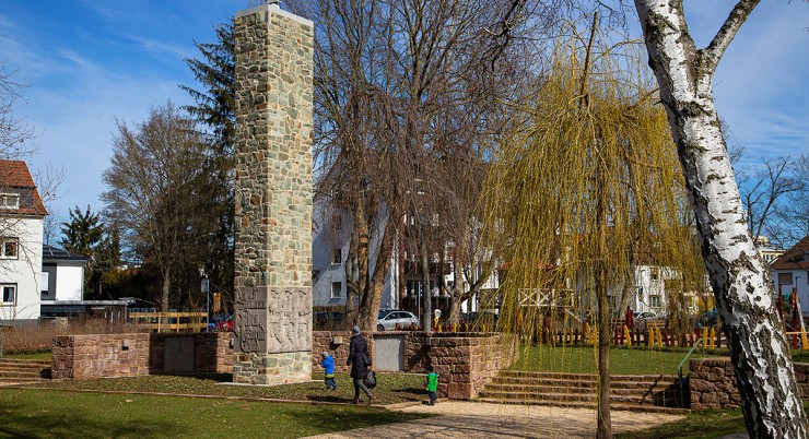
It is the birthplace and lifeblood of the city. At the spot where Bad Vilbel once originated, the Nidda had a natural ford, allowing people to cross the river there.
Consistently marked with the green “R4” sign, most of the route runs along low-traffic, quiet, and secluded paved cycle paths and farm tracks.
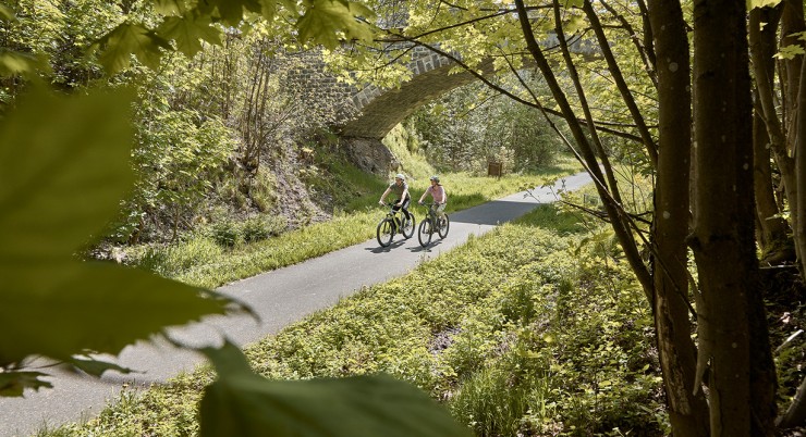
The Volcano Cycle Path largely follows the route of the former Oberwaldbahn, an old railway line that led from Lauterbach over the Vogelsberg mountain range and through the Wetterau region to Frankfurt.
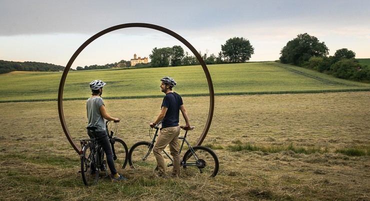
The Hohe Straße Regional Park Route follows the historical course of an old trade route and leads through vast landscapes as a ridge-top trail. You quickly feel “far away” and closer to the sky. Spectacular panoramic views open up in all directions, from the settlements in the valley to the Frankfurt skyline and the Ronneburg hills.
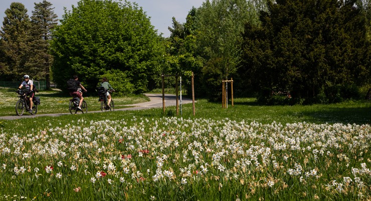
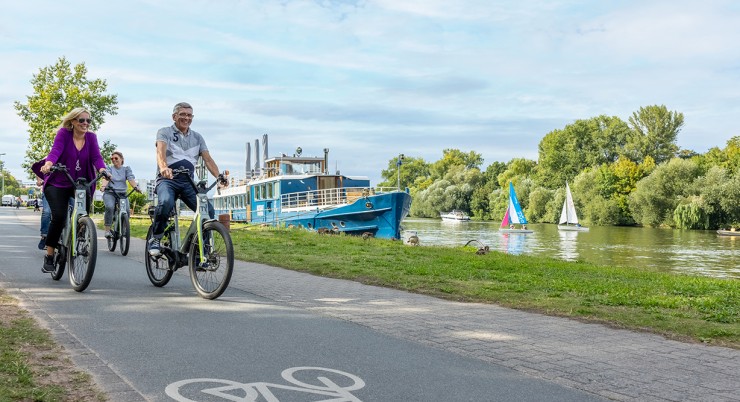
The cycling route “Around Bad Vilbel” is a 23-kilometer, easy-to-ride, highly varied circular cycling route with gentle inclines. It touches not only the core city of Bad Vilbel but also all its districts: Dortelweil, Gronau, Heilsberg, and Massenheim. Everywhere there are special features to discover, including nature, water, art, culture, and regional cuisine.
The Regionalpark Nidda Route is a unique river experience full of contrasts. It leads through the fields of the Wetterau, one of Germany’s oldest cultural landscapes, to the source in the idyllic Vulkanland Hoher Vogelsberg Nature Park.

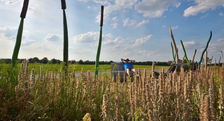
Vicus Romanus is an innovative adventure and experience landscape in the form of a public green space with numerous play and sports equipment. It promotes physical activity, enables encounters, protects health, and provides interesting facts about the region’s Roman past.
The Upper Germanic-Raetian Limes is Germany’s largest and best-known archaeological monument; 41.6 km run through the Wetterau district in a striking northward bulge.
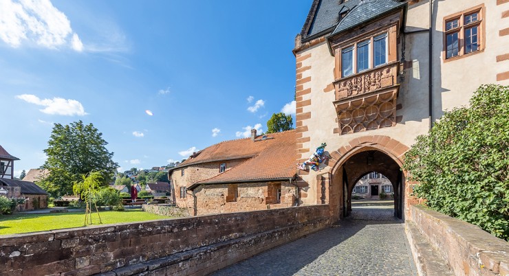
The Büdingen Old Town with its numerous listed monuments is one of the most beautiful medieval urban complexes in Germany. Magnificent half-timbered houses, small gables and dormers, imposing walls and towers at every turn.