


AUENLAND TRAIL
Natural floodplains and historic walls
This hiking trail is easy to walk. The circular route combines insights into the nature of the floodplain landscape as well as cultivated agricultural land. It passes points of historical interest, such as the town center of Dortelweil and its extraordinary village wall.
A leisurely stroll along the Nidda
From the Bad Vilbel festival grounds, the hiking trail initially runs openly along the banks of the Nidda, where views of the Wetterau open up. It then continues, lined by old riverside trees, along the Nidda to the edge of the Bad Vilbel district of Dortelweil. Behind the second Nidda bridge, a tiny passage leads first to the edge of the fields. Suddenly, the historic Dortelweil village wall is reached. A meadow path leads to the other end of the wall, where there is also an explanation of this rare form of village wall at the playground and rest area. From here, the path leads out into the fields at the edge of the golf course. The Nidda floodplains, combined with the fertile cultivation areas of the Wetterau, create diverse landscapes with lush meadows and typical floodplain vegetation.
Playground and views
Directly at the flood dam, you reach the ‘Storchennest’ (Stork’s Nest) viewing and recreation point. This leisure facility, featuring a walk-in bird’s nest three meters in diameter, can be discovered by hikers young and old.
The golf course is circumnavigated with beautiful views of the cultural landscape before heading into the center of Bad Vilbel – Dortelweil.
A peaceful town center and farm café invite you in
Passing historic buildings and a boundary stone garden, you reach the Nidda again. After crossing it, at a rest area with a view of the town, the route continues towards the Dottenfelder Hof. It offers an insight into the concept of biodynamic farming, including explanations. You can try many delicious organic products in the farm café and buy them in the farm shop.

NO NAMED GPX GPXNo elevation data
|
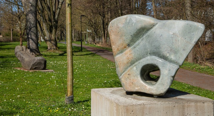
Massenheim’s history stretches back many millennia. Its sunny hillside location, fertile land, and access to water made the region a sought-after settlement site from early on.
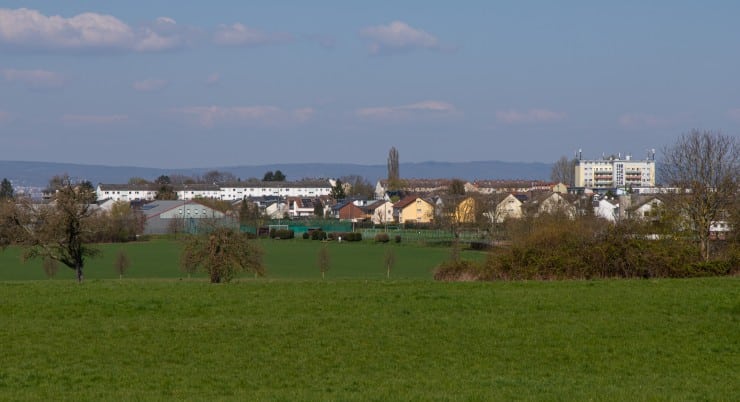
The modern-day Bad Vilbel district of Heilsberg has a relatively young history: in 2023, it celebrated its 75th anniversary. Many settlements in the region are far older—ten times as old or more.
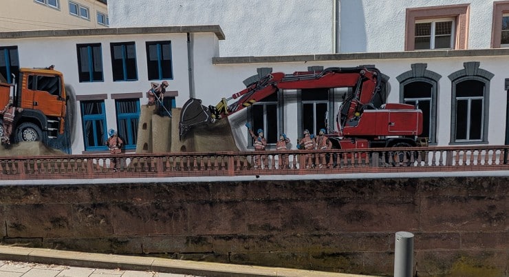
Massenheim’s history stretches back many millennia. Its sunny hillside location, fertile land, and access to water made the region a sought-after settlement site from early on.
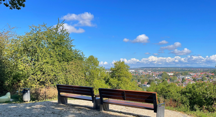
The Vilbelsteig is a city hiking trail certified by the German Hiking Institute, combining interesting areas of city and nature. It offers a wealth of information…
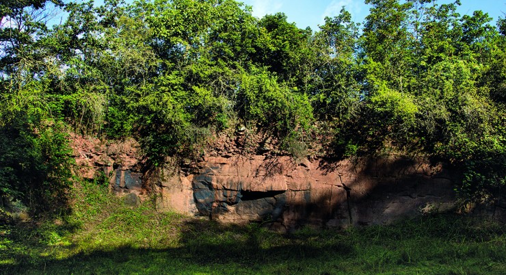
In addition to a wonderful view over the city, as far as the Taunus and into the Wetterau, this trail offers plenty of interesting information about the local geology as well as…
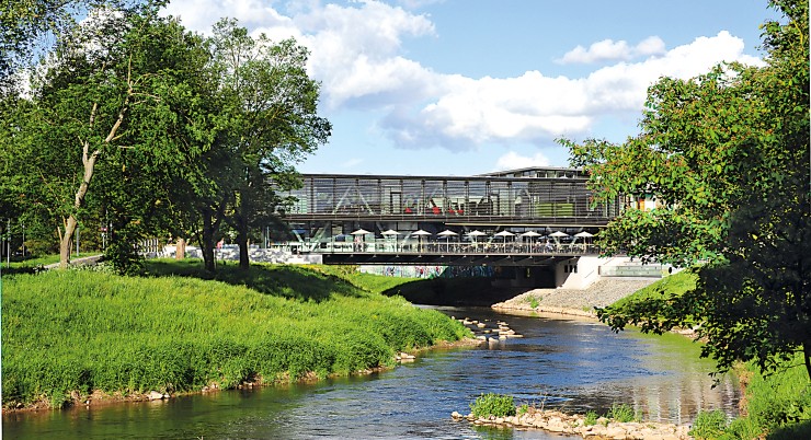
On this walking trail, everything revolves around Bad Vilbel’s most important element – water.
Always within sight of the Nidda, the path leads along the green soul and the historical…
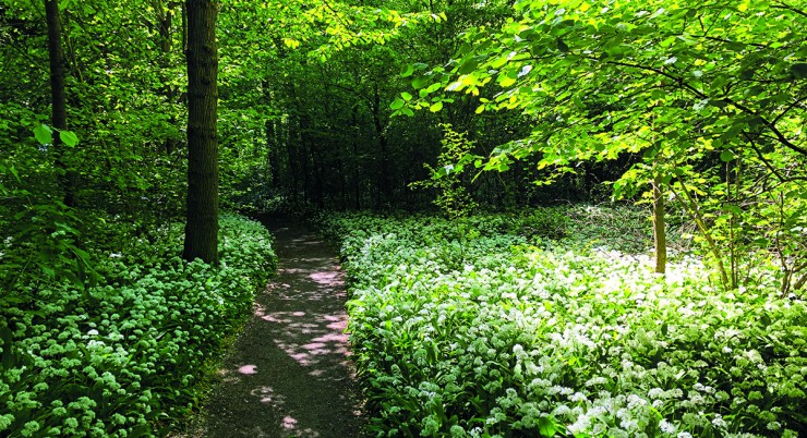
This walking path offers a brief escape from the hustle and bustle of the city. If you want to enjoy the tranquility of the forest, this is the right place….
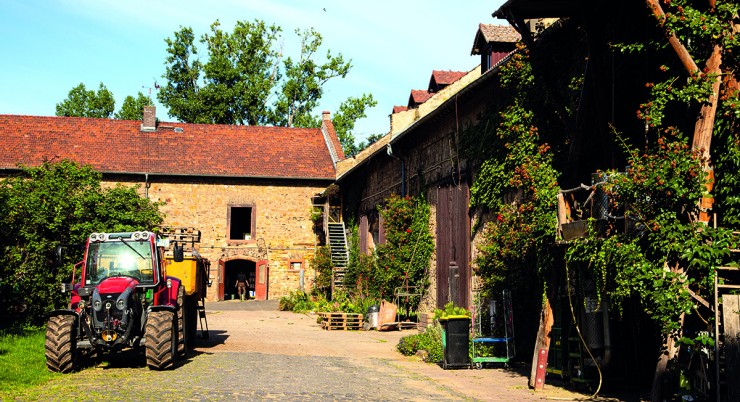
This easy circular trail offers the opportunity to get closer to rural life while enjoying wonderful panoramic views of the fertile Wetterau plain…
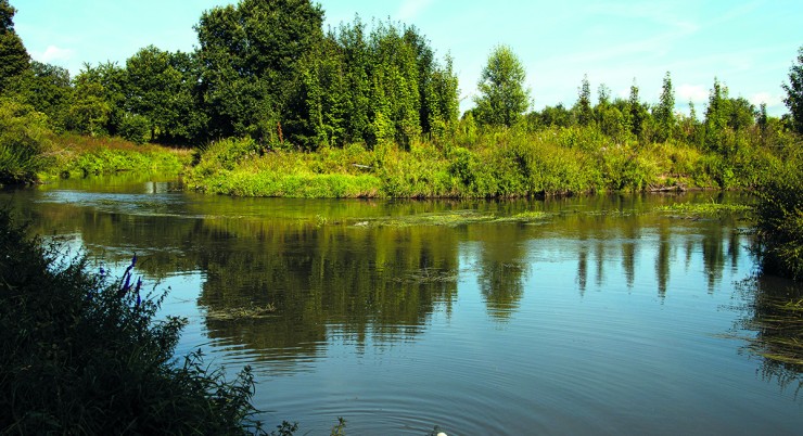
Many idyllic spots along the Nidda invite you to take a break, such as the “Storchennest” viewpoint and rest area, where a walk-in…
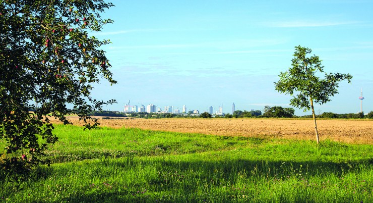
The Skyline Tour reflects the unique charm
of the area: it offers a fascinating
combination of important historical themes
of the city – such as….


