
THE STONE

Bad Vilbel – a truly special place, even geologically speaking!
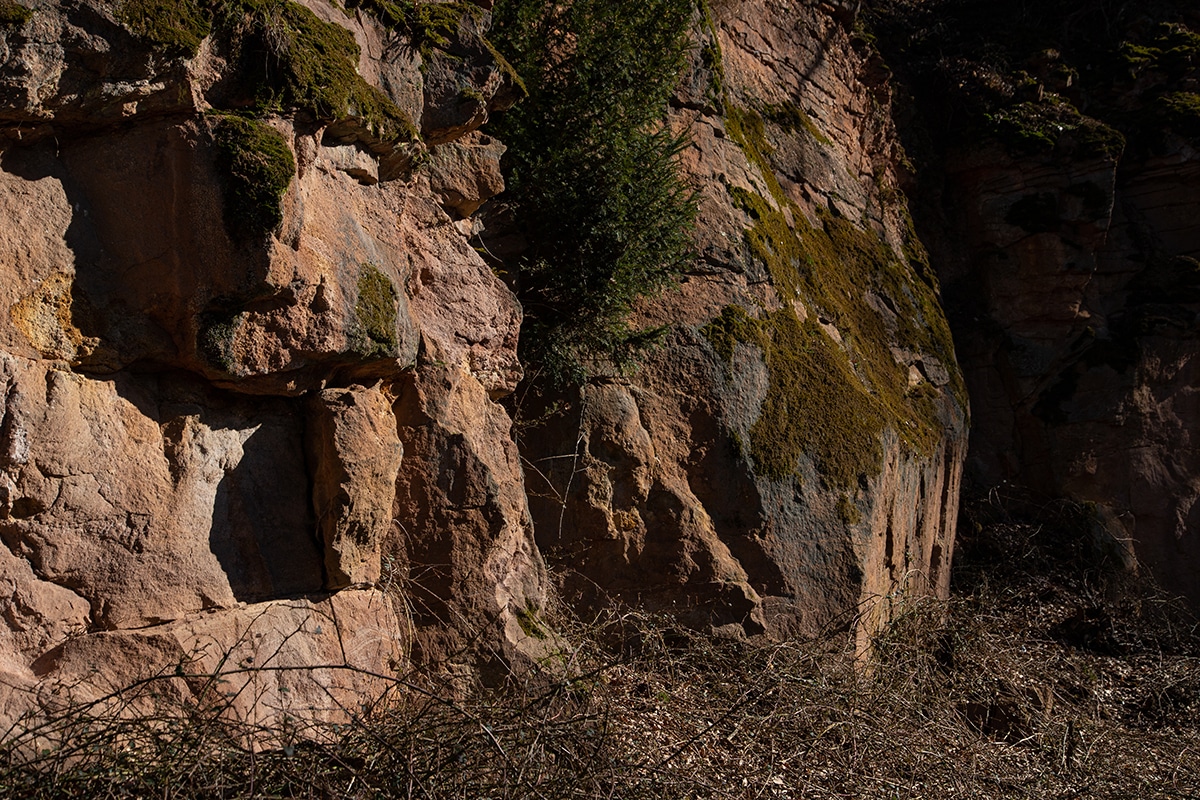
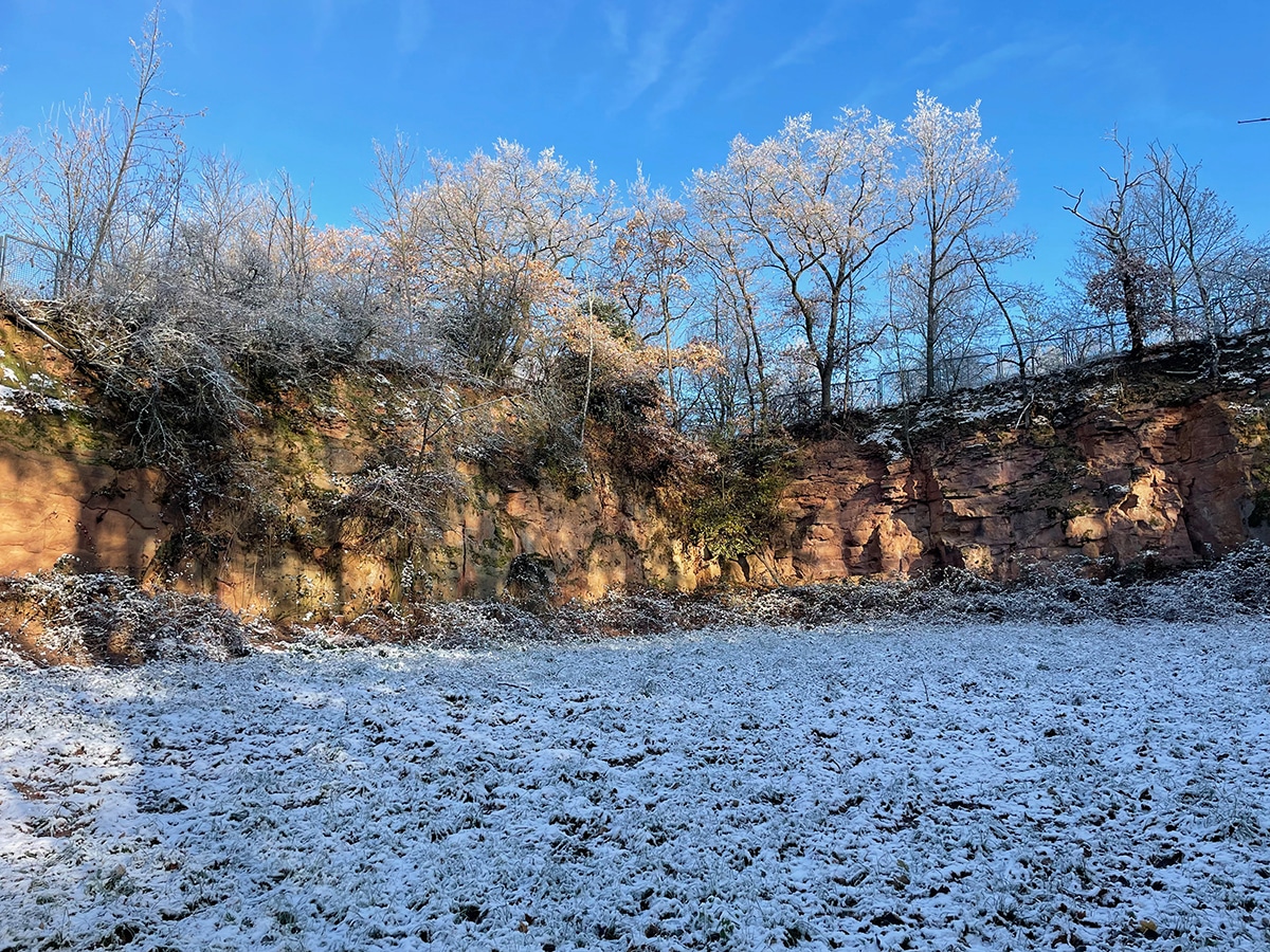
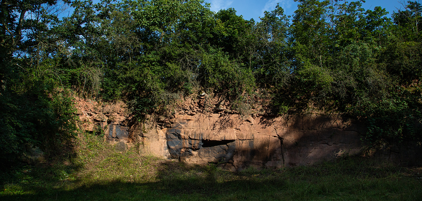
At the old town hall, various geological fault zones intersect. These formed because layers deposited over many millions of years moved differently relative to each other. Some subsided, while others were uplifted. The uplifted area is called a horst. The Vilbel Horst brought deeper rock layers to the surface approximately 300 million years ago, which were later relatively easily quarried in the form of sandstone (“Rotliegender”) and used as building material.
These tectonic processes…
- caused volcanism and thus carbon dioxide, which is contained in the mineral water underground
- created pathways for the mineral water to rise – which could then be extracted through wells
- made it possible to quarry sandstone for construction purposes at the fault lines
- influenced the course of the Nidda and Edelbach rivers and thus the location of Bad Vilbel
The waterways formed along fault zones, with the Edelbach washing erosional debris into the Nidda. This widened the Nidda in the sedimentation zone and flattened it. This created the ford, on whose banks Bad Vilbel was eventually founded.
The Romans already quarried this sandstone at Niederberg and Rotheberg (100–240 AD) and probably transported the stones by flatboat on the Nidda.
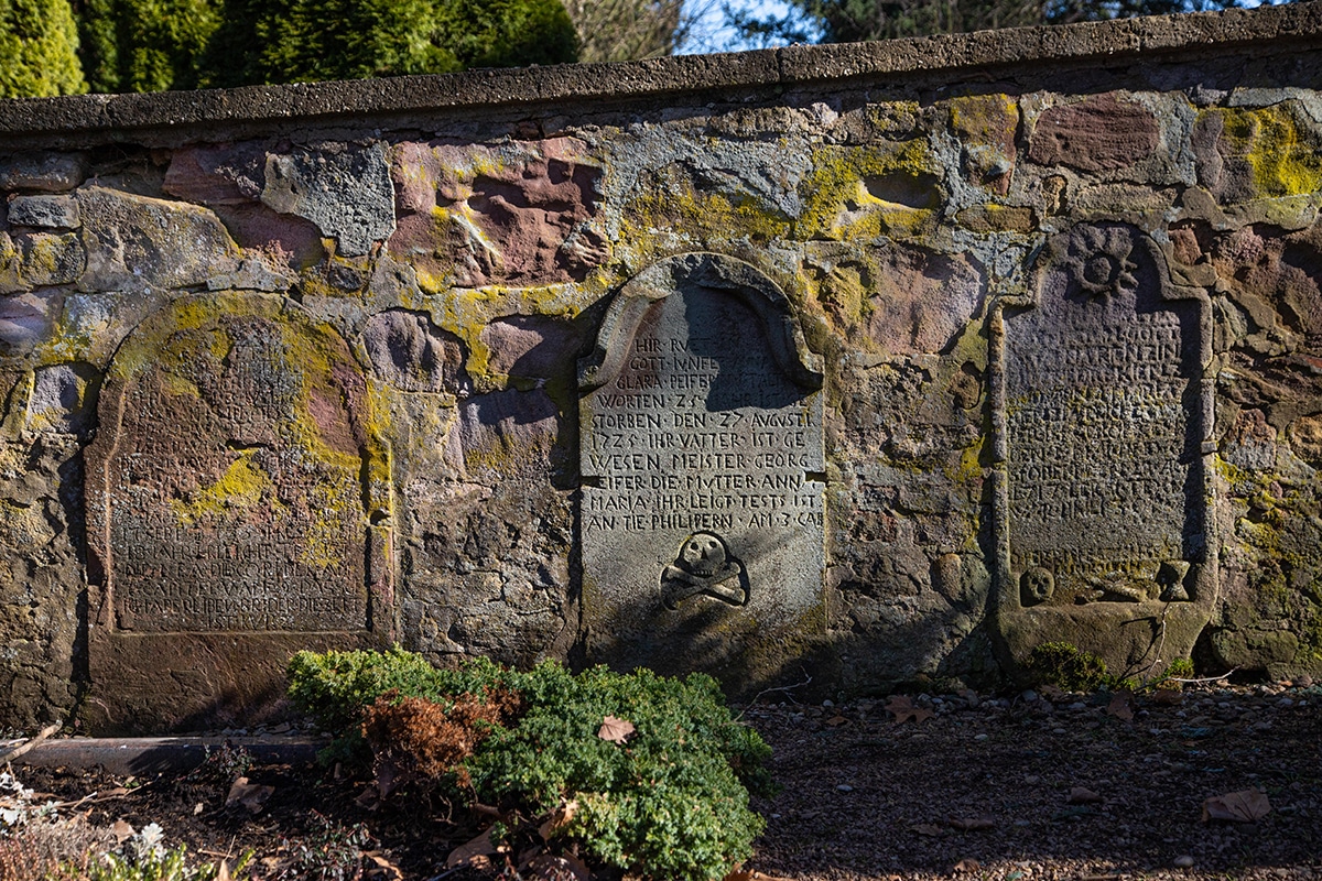
Later, many Bad Vilbel buildings were constructed from this sandstone. From 1847 until its opening in 1852, sandstone for various buildings of the Main-Weser railway from Kassel to Frankfurt was quarried here.
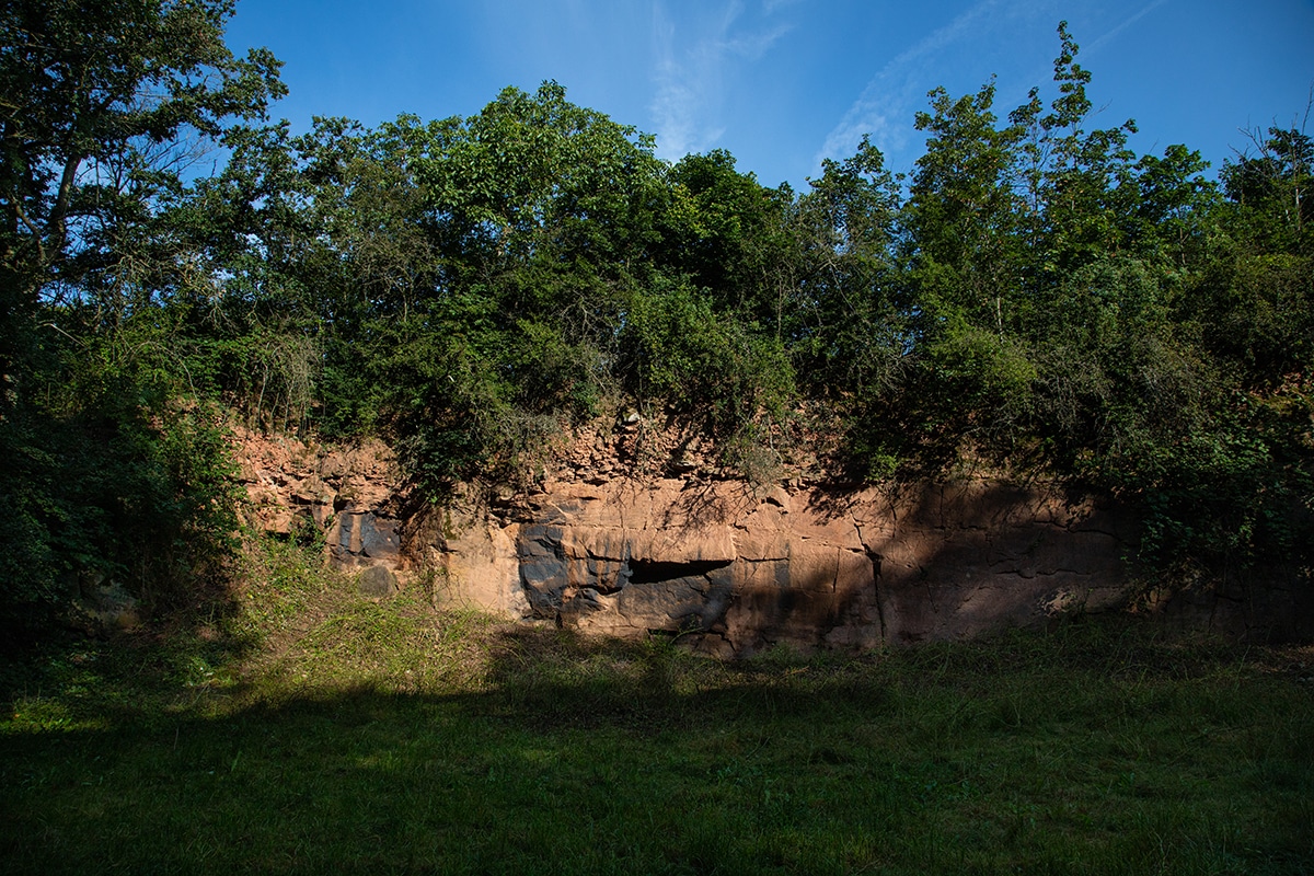
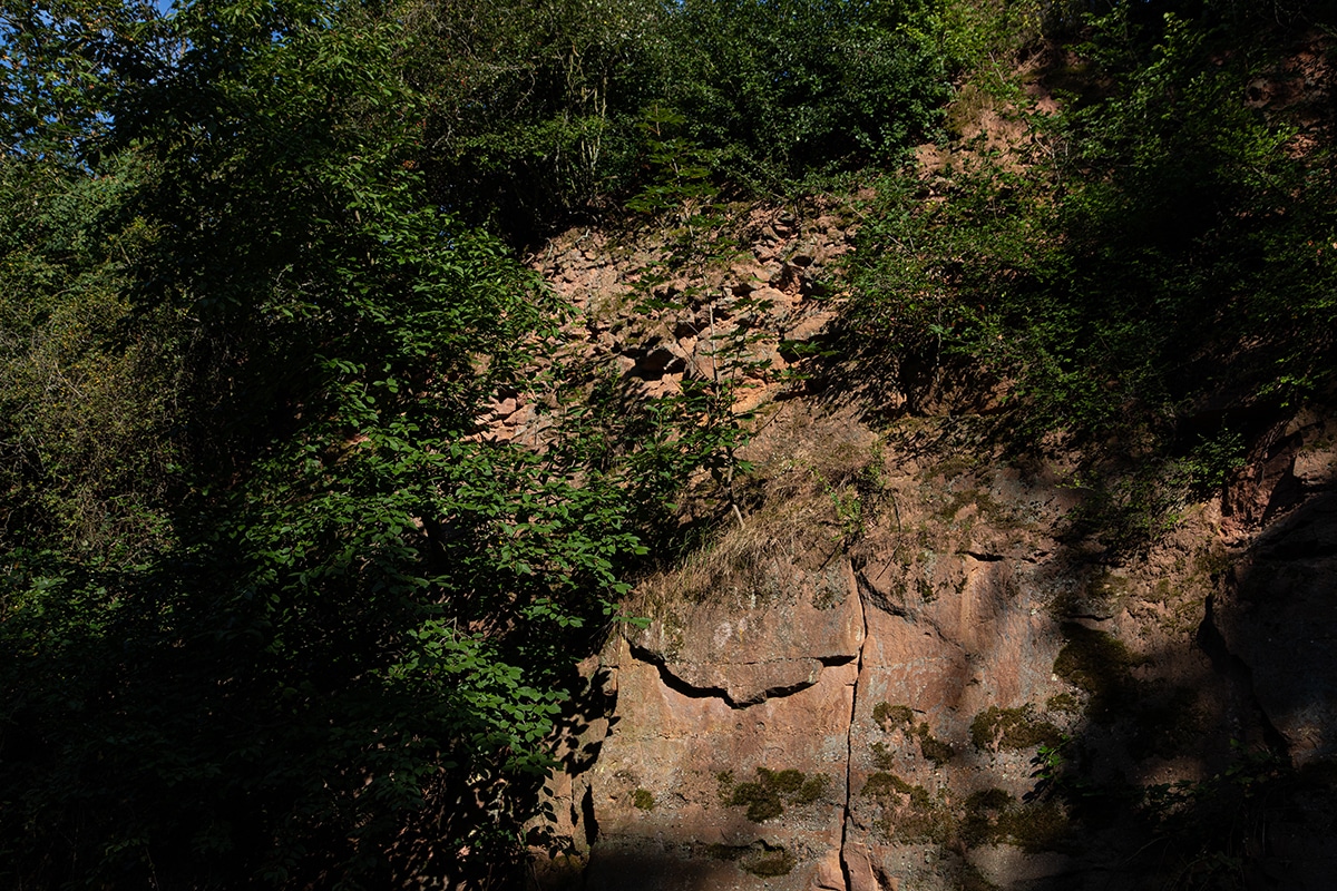
Quarrying ended in the 1930s. Today, the former quarries are enchanted places and important biotopes. The former spoil heaps have been terraced and re-naturalized, serving for fruit cultivation. They offer magnificent views. All of this can be discovered on a short hike along the “Auf dem Rothen Horst” trail.