

 Well worth a visit!
our town
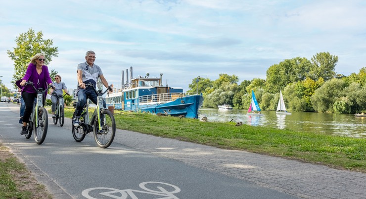
Our walking trails
![]()
ACTIVE IN BAD VILBEL
Tours
Unsere Wanderwege
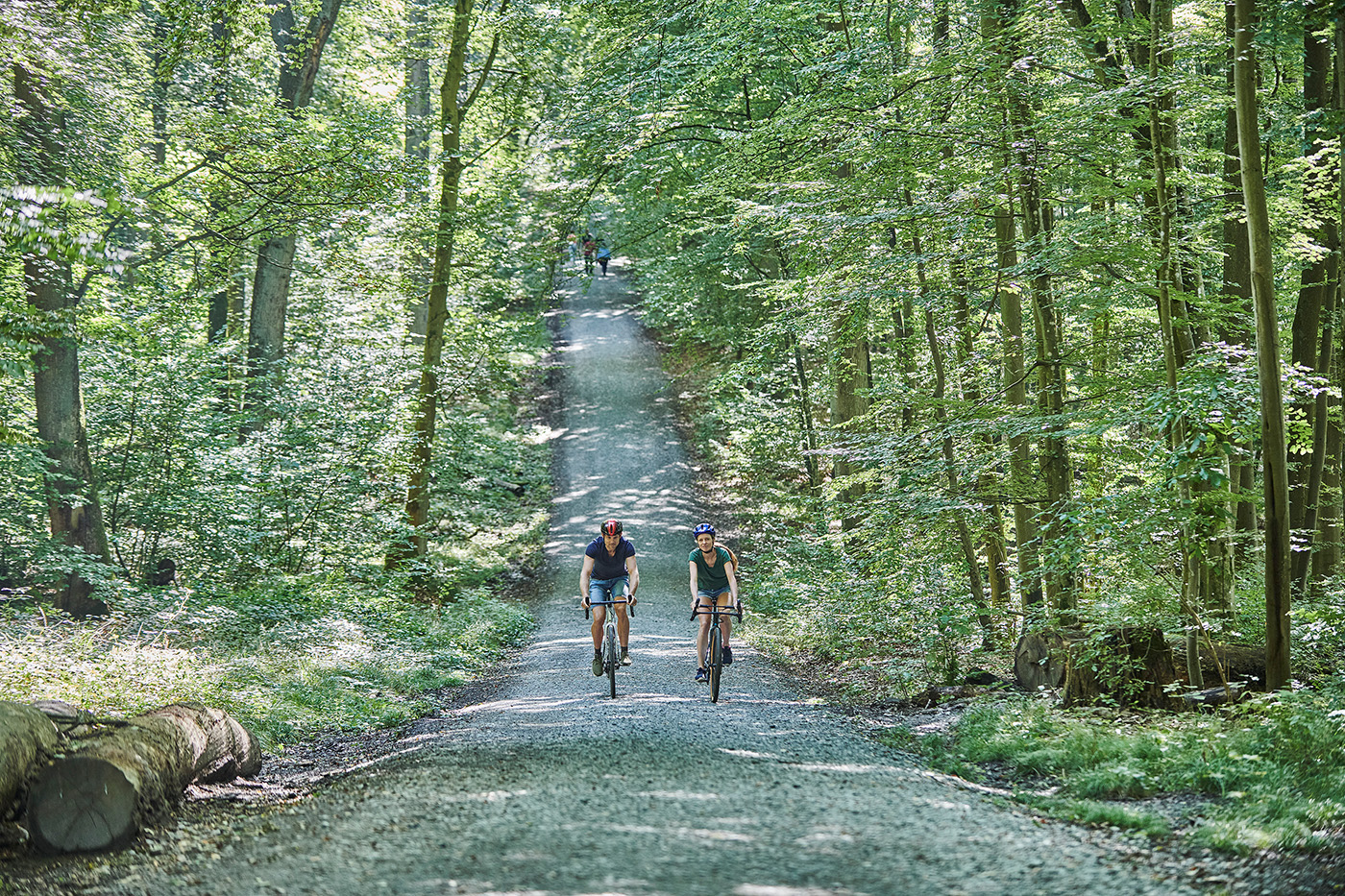
Marked throughout with the green “R4” sign, most of the route runs along low-traffic, quiet, and secluded paved cycling and farm tracks.
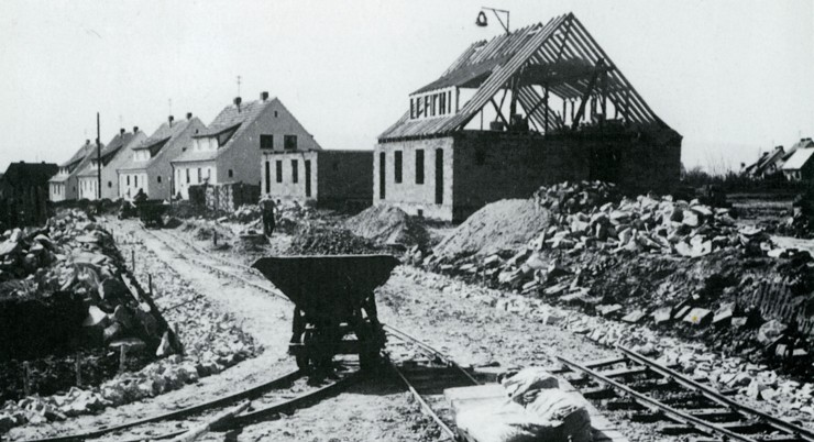
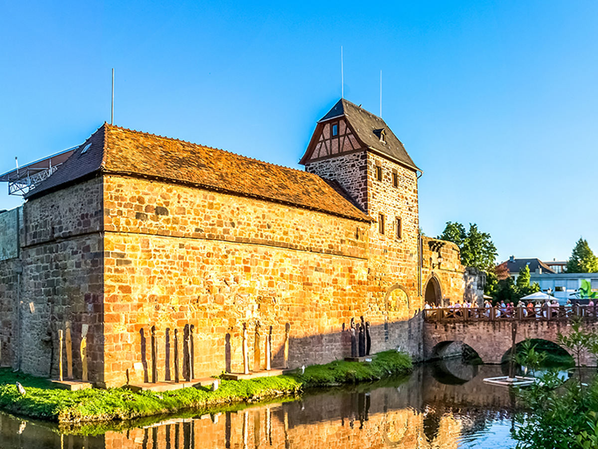
The modern-day Bad Vilbel district of Heilsberg has a relatively young history: in 2023, it celebrated its 75th anniversary. Many settlements in the region are far older—ten times as old or more.

Consistently marked with the green “R4”, most of the route runs along low-traffic, quiet and secluded, paved cycling and farm roads.
Marked throughout with the green “R4” sign, most of the route runs along low-traffic, quiet, and secluded paved cycle paths and farm tracks.
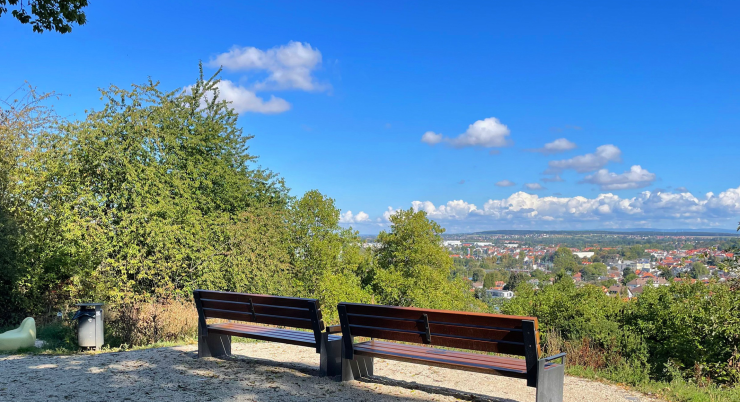
The Vilbelsteig is a city hiking trail certified by the German Hiking Institute, combining interesting areas of city and nature. It offers a wealth of information…
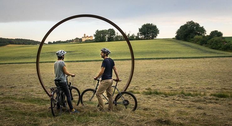
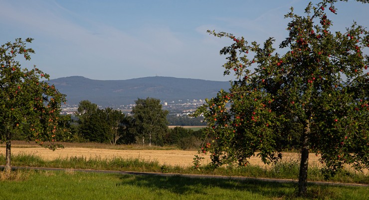
The Hohe Straße Regional Park Route follows the historical course of an old trade route and leads through vast landscapes as a ridge-top trail. You quickly feel “far away” and closer to the sky. Spectacular panoramic views open up in all directions, from the settlements in the valley to the Frankfurt skyline and the Ronneburg hills.
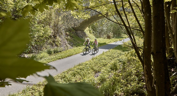
The Volcano Cycle Path largely follows the route of the former Oberwaldbahn, an old railway line that led from Lauterbach over the Vogelsberg mountain range and through the Wetterau region to Frankfurt.
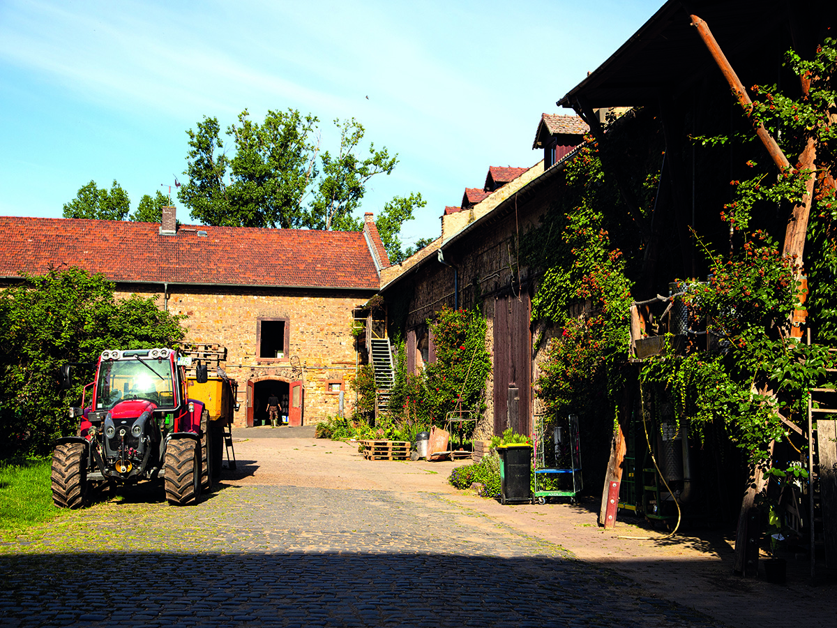
Massenheim’s history stretches back many millennia. Its sunny hillside location, fertile land, and access to water made the region a sought-after settlement site from early on.
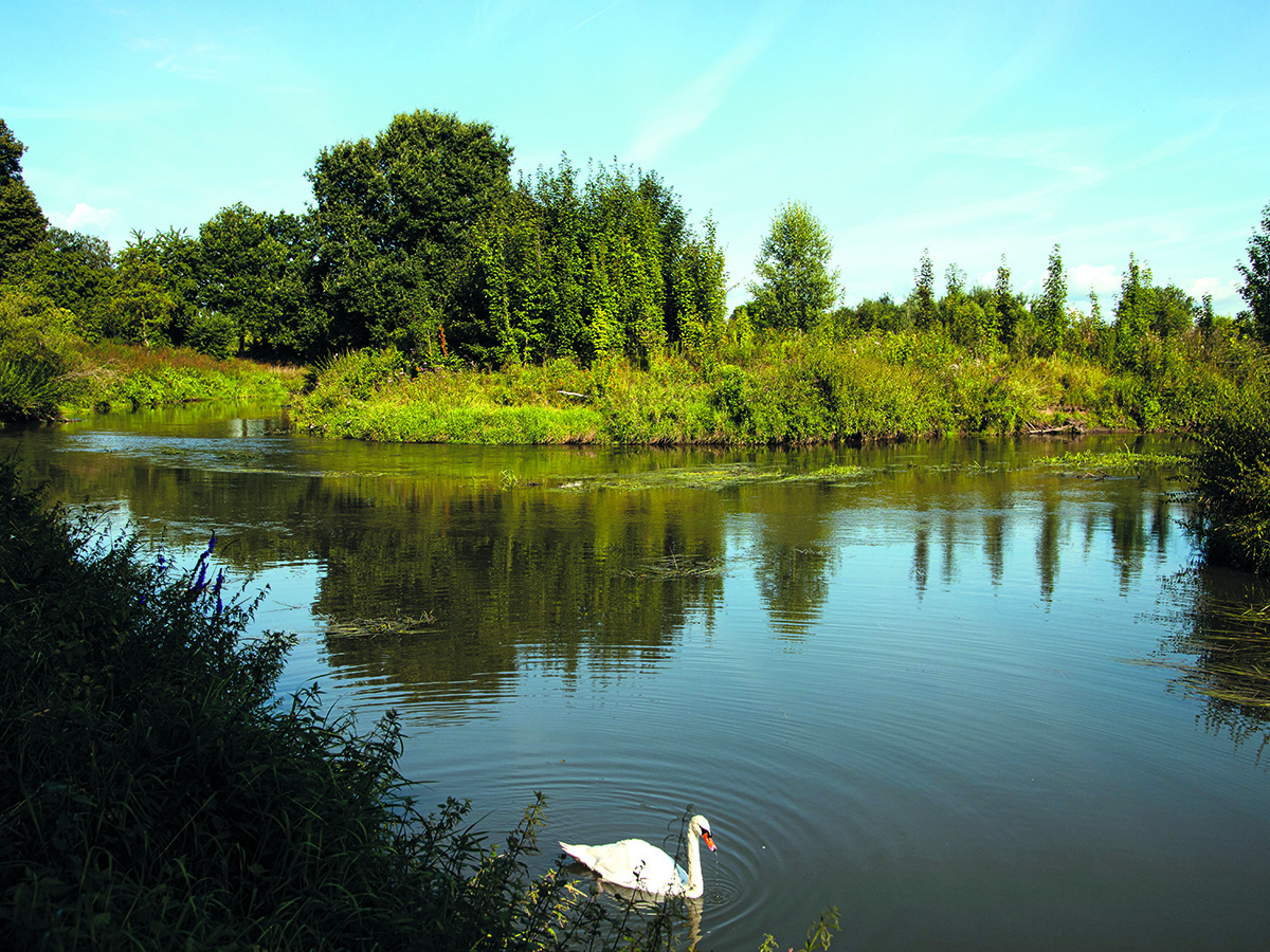
The Regionalpark Nidda Route is a unique river experience full of contrasts. It leads through the fields of the Wetterau, one of Germany’s oldest cultural landscapes, to the source in the idyllic Vulkanland Hoher Vogelsberg Nature Park.
Consistently marked with the green “R4” sign, most of the route runs along low-traffic, quiet, and secluded paved cycle paths and farm tracks.
WE LOOK FORWARD TO SEEING YOU


 Subscribe to our newsletter now and never miss any updates.